Tropical Storm Marie, positioned Tuesday near 15 degrees north latitude and 109 degrees west longitude, is expected to reach hurricane strength on Wednesday while continuing northwest off the Mexican coast, according to the National Weather Service.
Although the storm is projected to stay on a west-to-northwest track away from the West Coast, its moisture is still anticipated to affect Southern California during the Labor Day weekend, the agency said.
Quiet conditions are forecast to hold across Los Angeles and Orange counties through Friday, with temperatures running 2 to 6 degrees below normal under the influence of a West Coast trough.
From Sunday through Tuesday, forecasters assign a 50 to 60 percent chance of light rain totaling between 0.10 and 0.50 inches across the region, along with a smaller 10 to 15 percent chance of heavier downpours or localized thunderstorms.
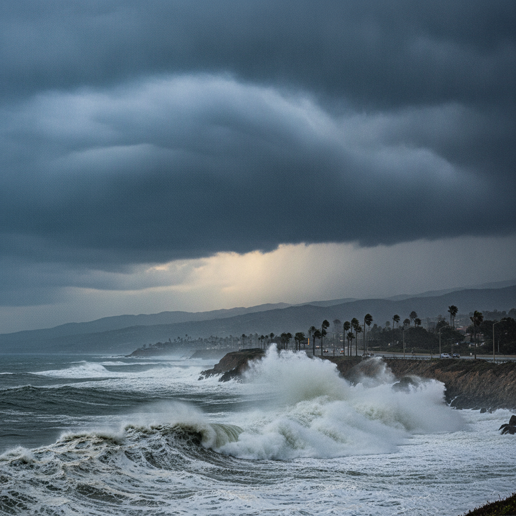
South-facing beaches face high surf advisories and strong rip currents through Monday night, while evening tides are expected to reach 6.5 to 6.8 feet on Sunday and about 7 feet on Monday, raising the risk of minor coastal flooding and beach erosion in low-lying areas.
A 10 to 15 percent chance also exists for moderate to strong easterly winds ahead of the rain, which could heighten fire-weather concerns, the National Weather Service noted.
The National Hurricane Center has stated that the chances of Marie directly hitting Southern California as a hurricane or tropical storm remain VERY LOW, though officials cautioned that a small shift in the storm track could produce significant changes to local conditions.
The National Weather Service will continue to monitor computer models and issue updated coastal advisories as the system evolves over the open ocean.
This report is based on coverage by FOX 11 Los Angeles: https://www.foxla.com/news/tropical-storm-marie-hurricane-southern-california-labor-day-impacts